
Large-Area Survey - Operation Case Study
SILVERTONE UAV | 21 JULY 2022 | KEN TAYLOR
BACKGROUND
Most people needing a topographical survey performed will need maybe some acres, or even a few square kilometers, of land covered.
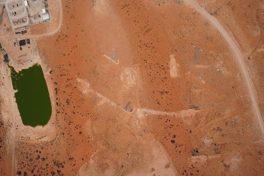
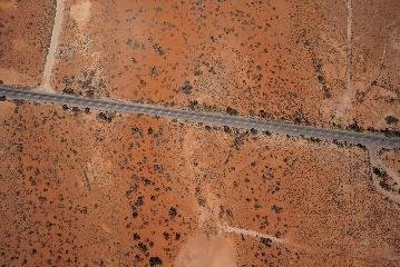
Our client required over 250km² of Queensland outback surveyed, and quickly, with high winds forecast in the latter days of the survey period. The cost of manned aircraft to perform this task is significantly higher than for a Remotely Piloted Aircraft. Smaller unmanned aircraft, such as the ubiquitous multirotor, would be impractical for a task of this magnitude.
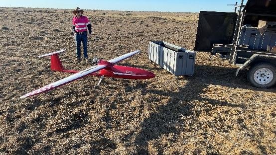
Our Flamingo Mk3, with its large fuel tank and extraordinary flight characteristics and autonomous systems developed by Silvertone UAV, was a perfect solution for a cost-effective execution of the task.
PAYLOAD
A Sony A7 camera and RTK unit was integrated into the payload bay of the Flamingo Mk3. Flight testing on location, launching from an unprepared surface in remote QLD, validated the anti-vibration mount and the image quality of the captured data.
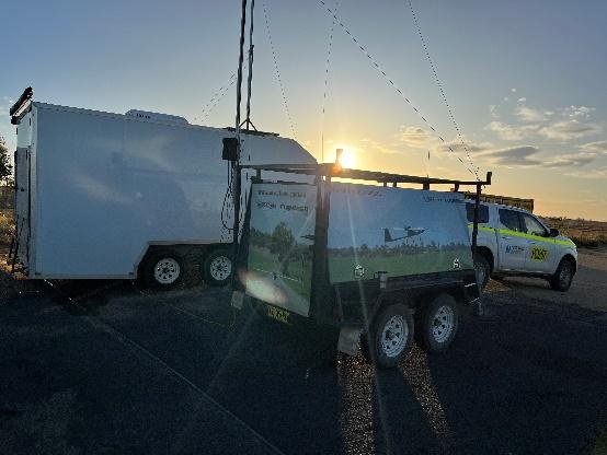
The mission to capture the 250 km² of mining tenement was planned and operated from a commercial airport up to 42 km from the survey area.
Separation from other aircraft was managed with the use of our onboard ADSB, stakeholder engagement and airborne communications and CASA support through NOTAM promulgation.
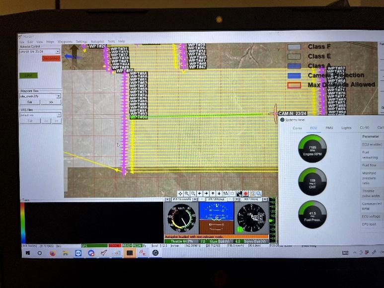
Beyond Visual Line of Sight operations took place at 1,000 feet AGL. The terrain and our GCS setup facilitated uninterrupted communications between the aircraft and the GCS, resulting in a simple logistic footprint to maintain control of the platform and the payload.
OPERATION
Approximately 15 hours of on-task flying took place over three flying days, in weather with winds up to 65km/hr.
The survey area was approximately 42km from the mission control station, necessitating about 30 minutes of transit time each flight.
RESULTS
A single Flamingo aircraft was able to cover the entirety of the survey area rapidly and efficiently, gathering the data with sub 7cm resolution that exceeded customer requirements.
Operating at over 40km distance from the ground control station, the aircraft flew flawlessly and was able to cope with extremely adverse conditions.
By being able to gather the data despite local conditions being unfavorable, and within the timeframe specified, the Silvertone team were able to achieve a winning outcome for the client.
The changing wind conditions throughout the operation meant a change of flight direction on numerous occasions to ensure quality of the images captured. This was managed while on task, positioning the aircraft to the side of the survey area while new flight plans were uploaded and subsequently executed without the need to return to base.